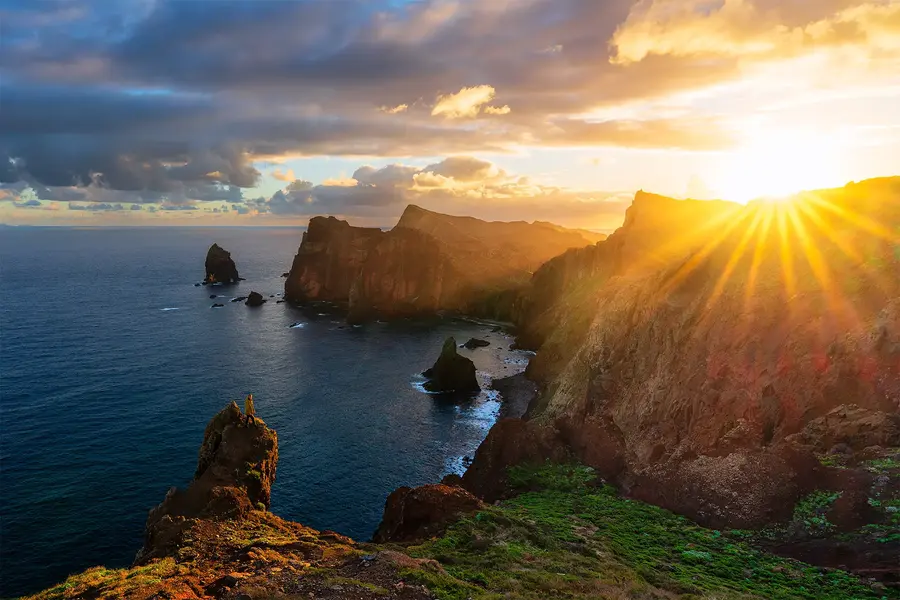
In September 2024, my partner Julia and I set out on our first major journey beyond Bulgaria. Iceland had been one of my greatest dreams for years, and arriving there around my birthday made the experience even more personal. In seven days, including the flights, we travelled through much of the country — from the waterfalls and black beaches of the south to the Eastfjords, the northern coast, Snæfellsnes, and Reykjavík. The journey was not designed entirely around photography, and we often reached remarkable places in difficult light or changing weather. Yet that became part of the story. Iceland showed us that no itinerary can fully control the clouds, wind, distance, or road, and that some of the strongest memories are created precisely when the plan begins to change.
A dream taking shape
Iceland had seemed distant and difficult to reach, especially because neither of us had much experience travelling independently outside Bulgaria. We began planning at the start of the year and eventually chose an organised journey with Into the Wild.
Two things influenced our decision. The first was the opportunity to travel with the Bulgarian photographer and traveller Ivan Miladinov. The second was the route itself. Instead of remaining in one part of the country, we would move almost every day, sleep in a different place each night, and follow a route through much of the island.
For a first journey of this scale, the organised format gave us a sense of security. Transport, accommodation, and the main stops were already arranged, allowing us to concentrate on the experience rather than solving every practical problem on our own. At the same time, the journey later showed me what I would change if I returned specifically to photograph Iceland.
Preparing for weather rather than a season
Before departure, we carefully studied the conditions we might encounter. We packed thermal underwear, fleece layers, waterproof and windproof shells, warm trousers, merino wool shirts, and sturdy waterproof boots. Our aim was to have enough clothing for the entire journey while fitting everything into a single suitcase.
That mattered because we changed accommodation almost every night. Each morning, the luggage had to be packed quickly and loaded back into the vehicles. Despite our lack of experience with this kind of travel, we managed the organisation well and carried almost everything we needed.
The most important lesson was that Icelandic clothing should be built in layers. Sunshine does not guarantee warmth, and a mild morning can be followed by cold rain and strong wind only a few hours later. Iceland’s official travel guidance recommends checking the weather and road conditions every day because they can change rapidly and vary considerably between different regions.
A midnight arrival and the first road east
Our flight left Sofia in the evening but was delayed. We reached the connecting flight in Munich with almost no time to spare and landed at Keflavík close to midnight local time.
After collecting the rental vehicles, we drove to our first accommodation. We slept for only a few hours before the road journey began. The tiredness was real, but so was the excitement of finally being in a country that I had imagined for years.
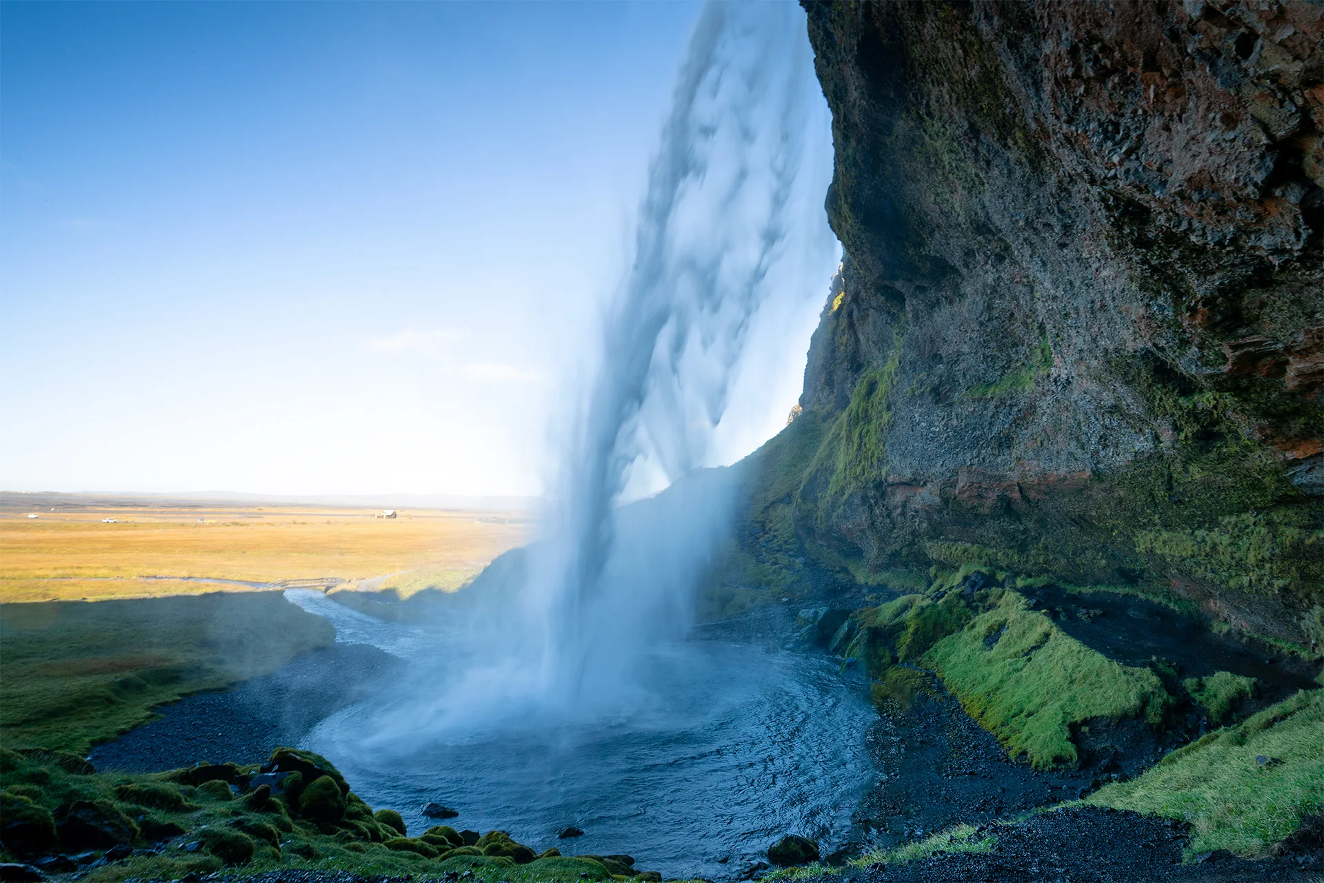
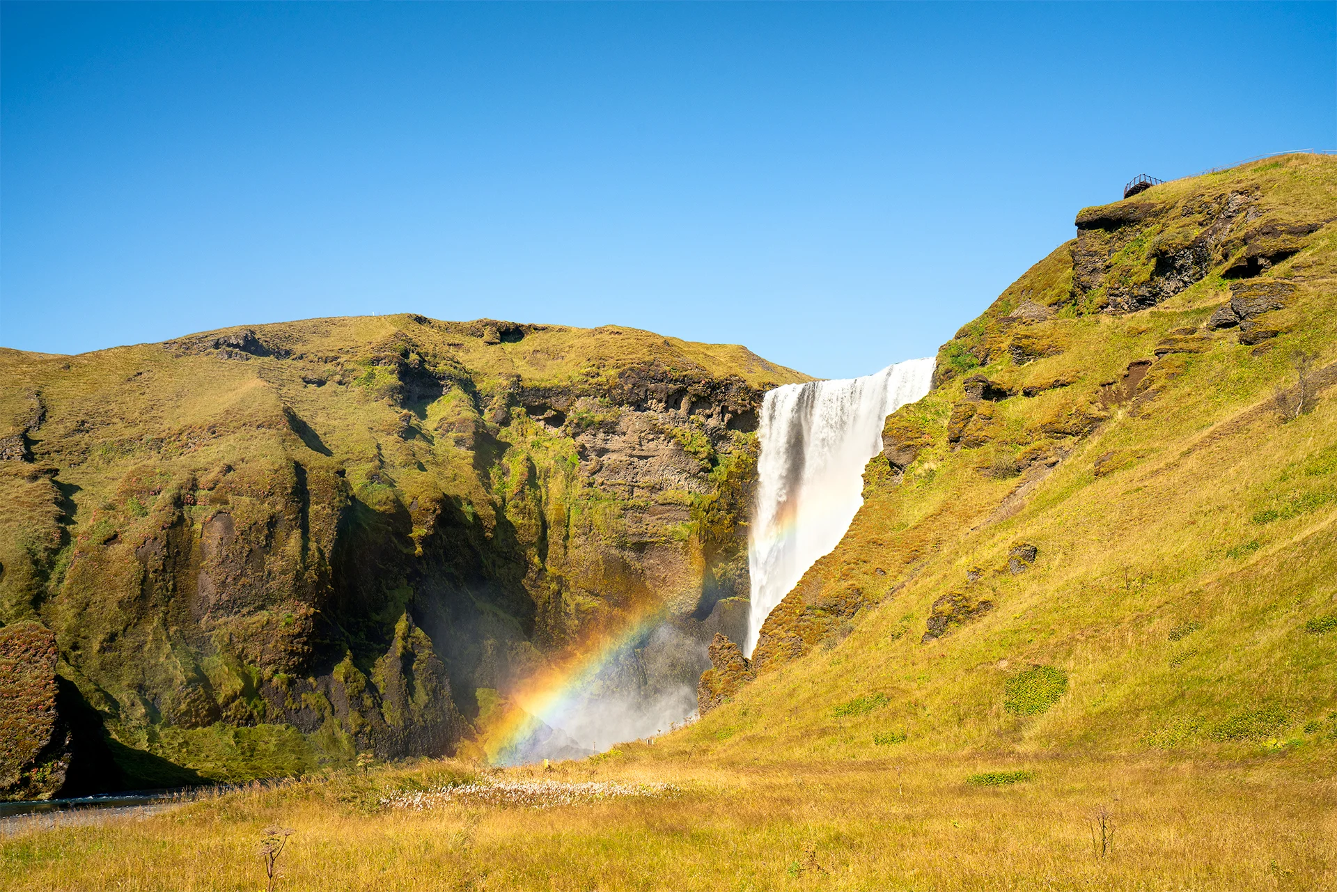
Our first destinations were Seljalandsfoss and Skógafoss, two of the best-known waterfalls on Iceland’s South Coast. Both stand close to the Ring Road and are among the easiest major natural landmarks to include in a journey through the south. Seljalandsfoss is known for the path that, when conditions permit, leads behind the falling water. Skógafoss is broader and more direct, filling the foreground with spray and often producing rainbows when sunlight reaches the mist.
We reached them around midday, when the light was not what I would have chosen for landscape photography. This became a recurring tension throughout the journey. We were seeing places I had long wanted to photograph, but the schedule was designed to cover distance and experiences rather than to place us at every location during sunrise, sunset, or dramatic weather.
The long walk to Sólheimasandur
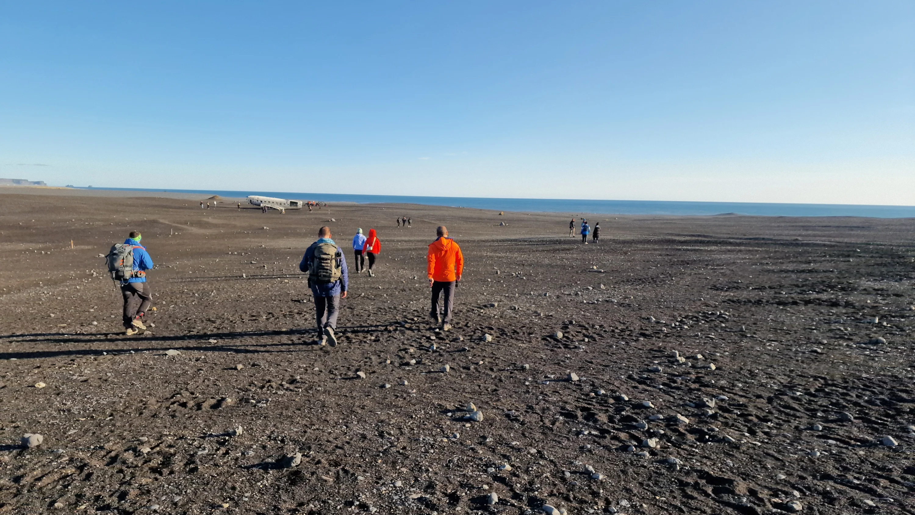
From the waterfalls, we continued to the aircraft wreck on the dark plain of Sólheimasandur. In 1973, a United States Navy aircraft made an emergency landing there. Everyone on board survived, but the remains of the fuselage were left on the sand and gradually became one of the most photographed objects on the South Coast.
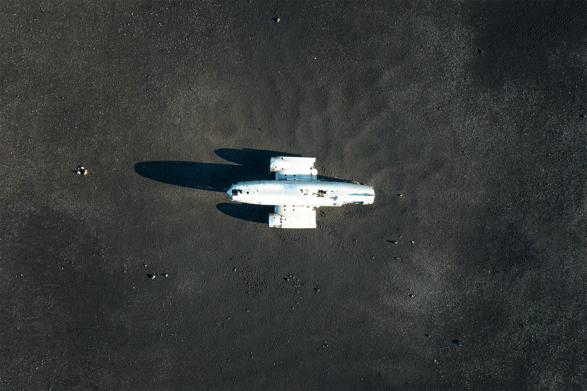
The aircraft cannot be reached by car. The marked route from the parking area is approximately four kilometres in each direction and usually takes a little under an hour each way. The terrain is flat but fully exposed, without shelter from wind, rain, or fog. The walk there and back took almost two hours and consumed much more of the day than the distance on the map suggested.
Our plan had been to continue to Reynisfjara and Dyrhólaey and photograph the coast around sunset. By the time we returned from the wreck and resumed the journey, there was not enough time left. It was an early lesson in Icelandic planning: a short detour can take half a day once walking, weather, parking, and photography are included.
Clouds, clear skies, and an elusive aurora
During most of the journey, the days were sunnier and warmer than we had expected. For a traveller, this was fortunate. For a landscape photographer, uninterrupted blue skies can sometimes be less interesting than clouds, rain, mist, or shafts of light.
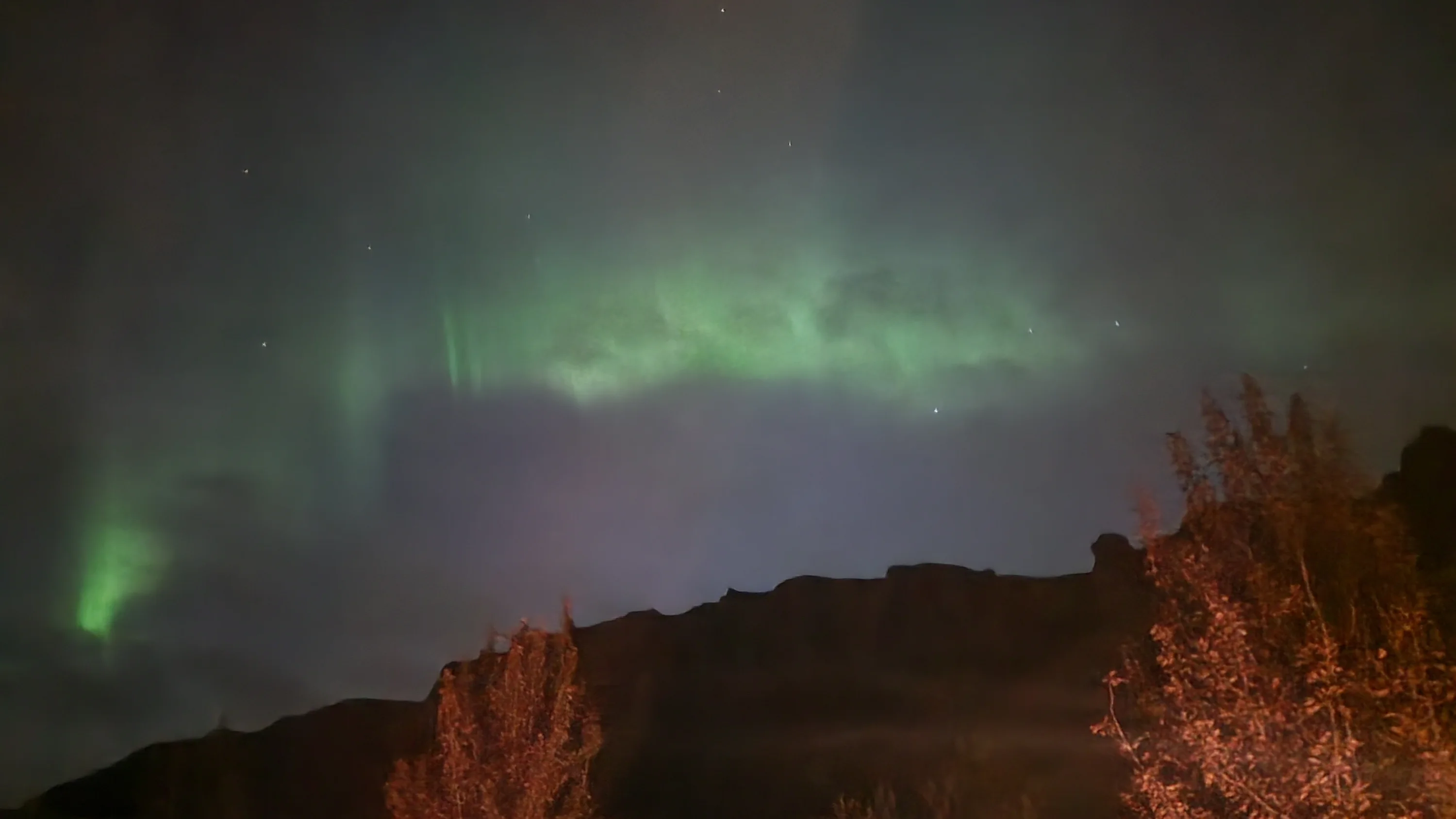
The evenings brought the opposite problem. Dense cloud frequently covered the sky and prevented us from clearly seeing the northern lights. We caught only faint traces on two nights.
September offers enough darkness for aurora viewing, but solar activity alone is not sufficient. Clear or partly clear skies are essential, and cloud cover can completely hide even strong activity. The Icelandic Meteorological Office publishes an aurora forecast that combines predicted activity with cloud cover, darkness, sunrise, and sunset information.
Kayaking among the ice
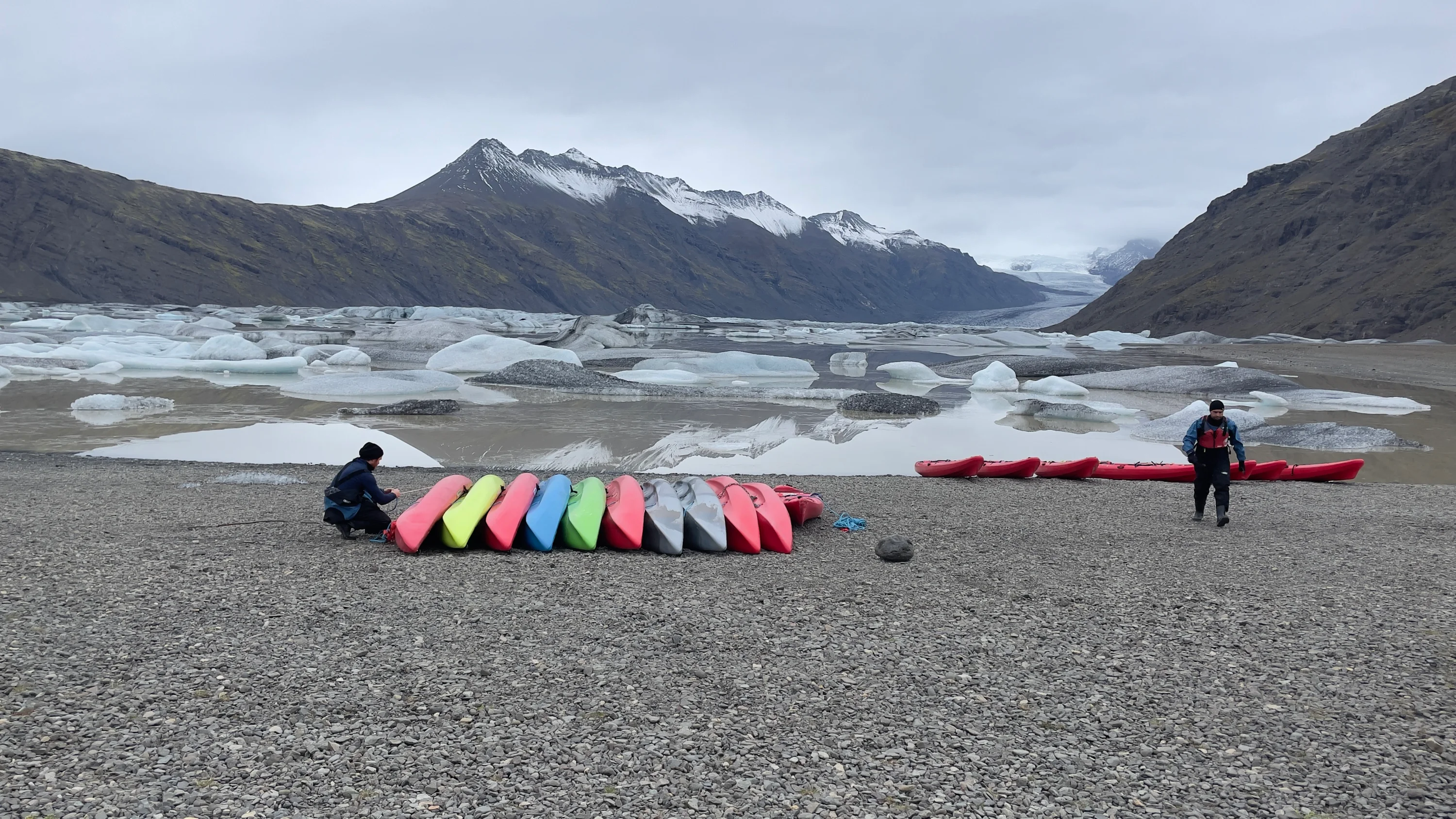
At the end of the first long day, we reached our next accommodation near Höfn. The following morning brought one of the strongest experiences of the journey: an organised kayak tour through a glacial lagoon in the Vatnajökull region.
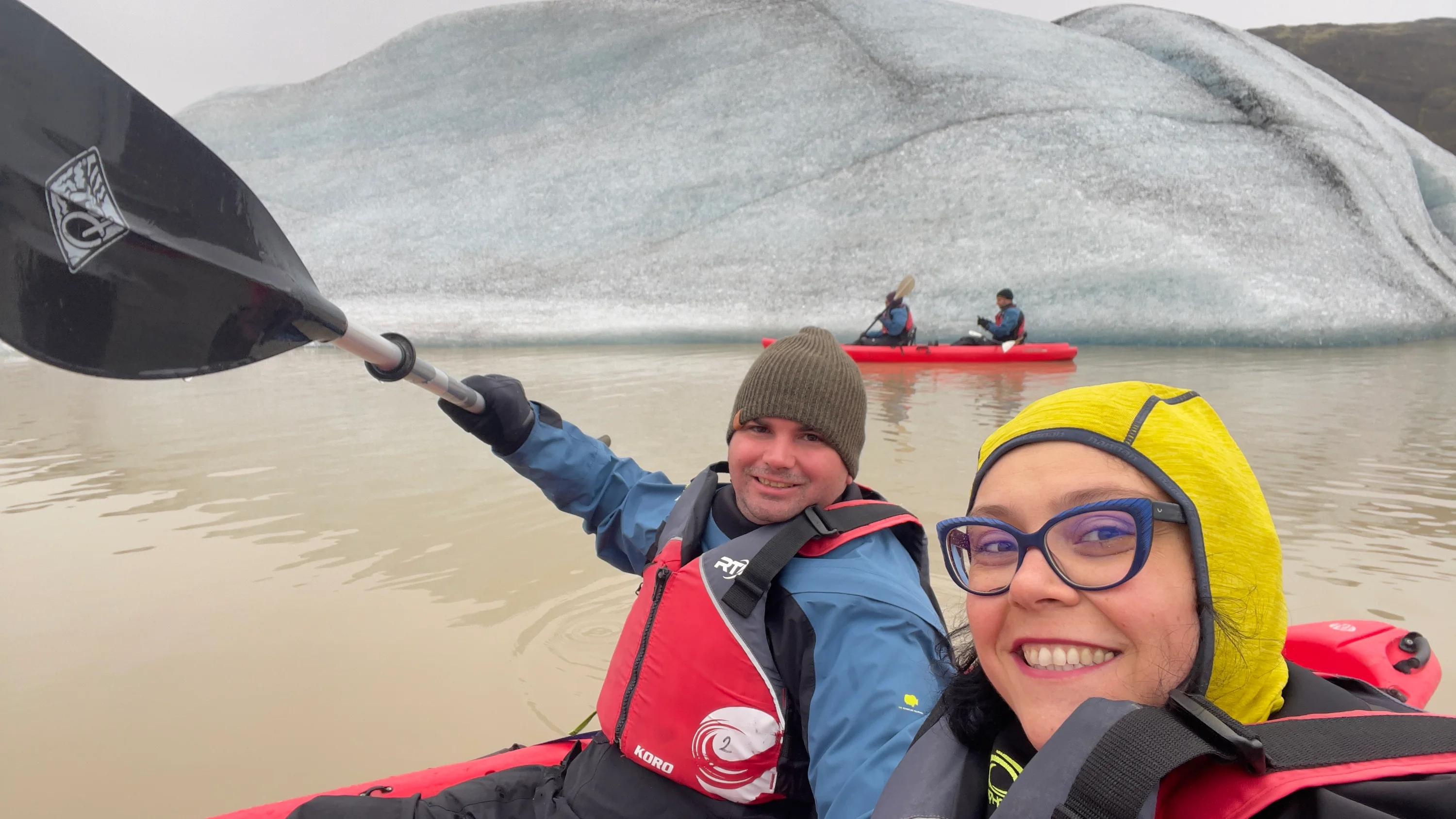
From the low position of a kayak, the scale of the ice changes completely. The fragments no longer appear as distant shapes in a wide landscape. They rise close to the water, marked by cracks, transparent edges, blue layers, and dark lines of volcanic sediment. The movement is slow, and the silence is broken mainly by paddles and the shifting ice.
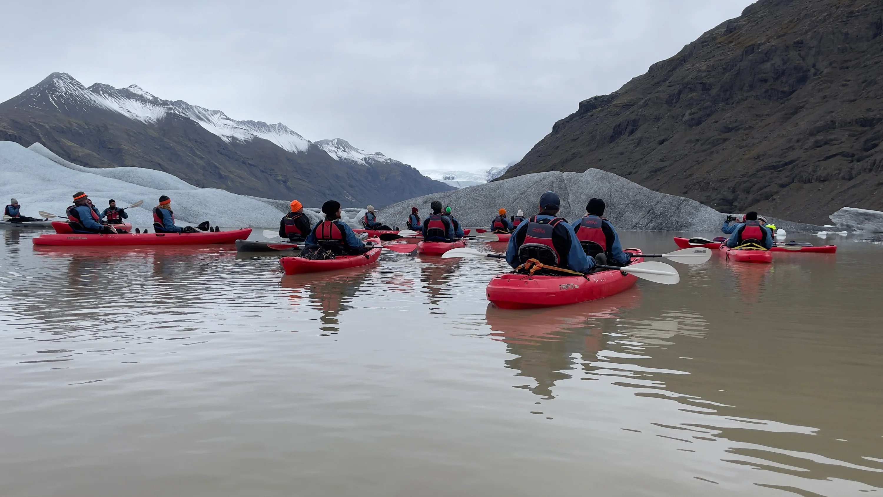
Vatnajökull dominates southeast Iceland and is the largest glacier in Europe. Its outlet glaciers feed several lagoons, including Jökulsárlón and Fjallsárlón, where guided boat and kayak tours travel among floating ice. Activities on or near glaciers should always be undertaken with an experienced operator because ice, water, and weather conditions can change.
Jökulsárlón and Diamond Beach
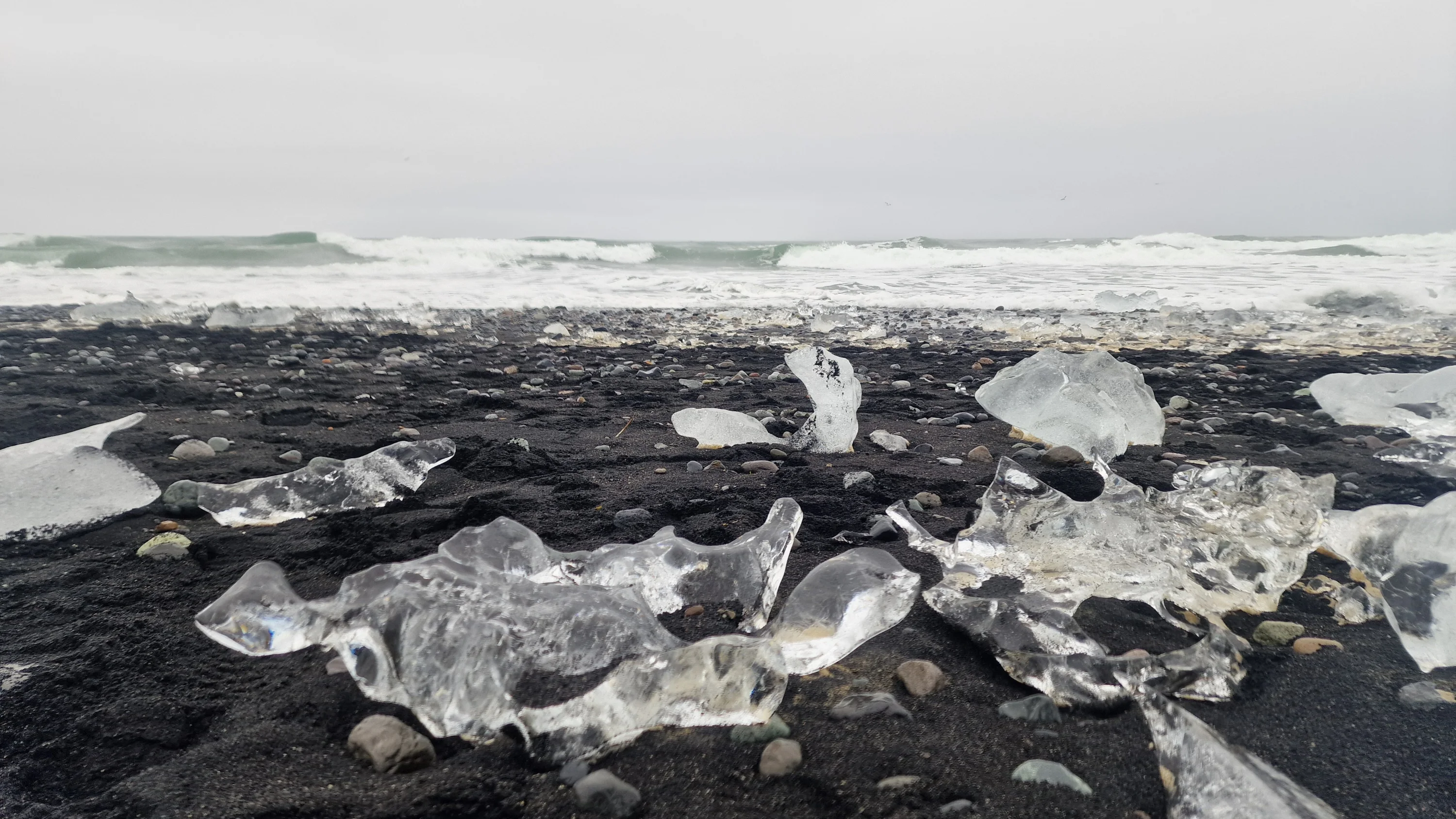
After the kayaking tour, we continued towards Jökulsárlón and the nearby Diamond Beach. Ice breaks away from Breiðamerkurjökull, drifts through the lagoon, passes beneath the bridge towards the ocean, and is sometimes carried back onto the black sand by the waves.
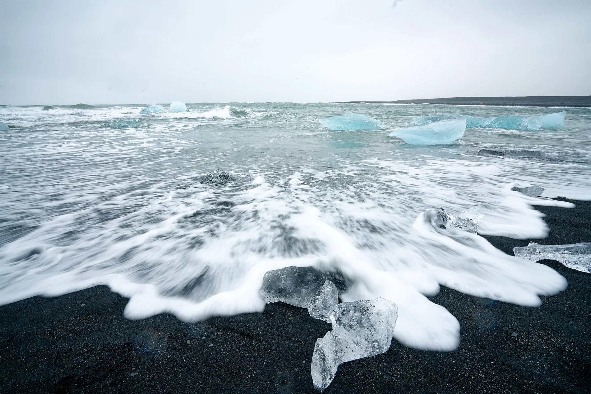
The name “Diamond Beach” describes the visual contrast, but the place is constantly changing. Some pieces are small and transparent; others are heavy, blue, and deeply textured. Their arrangement changes with the tide, wind, and flow from the lagoon. There is no permanent composition waiting for the photographer.
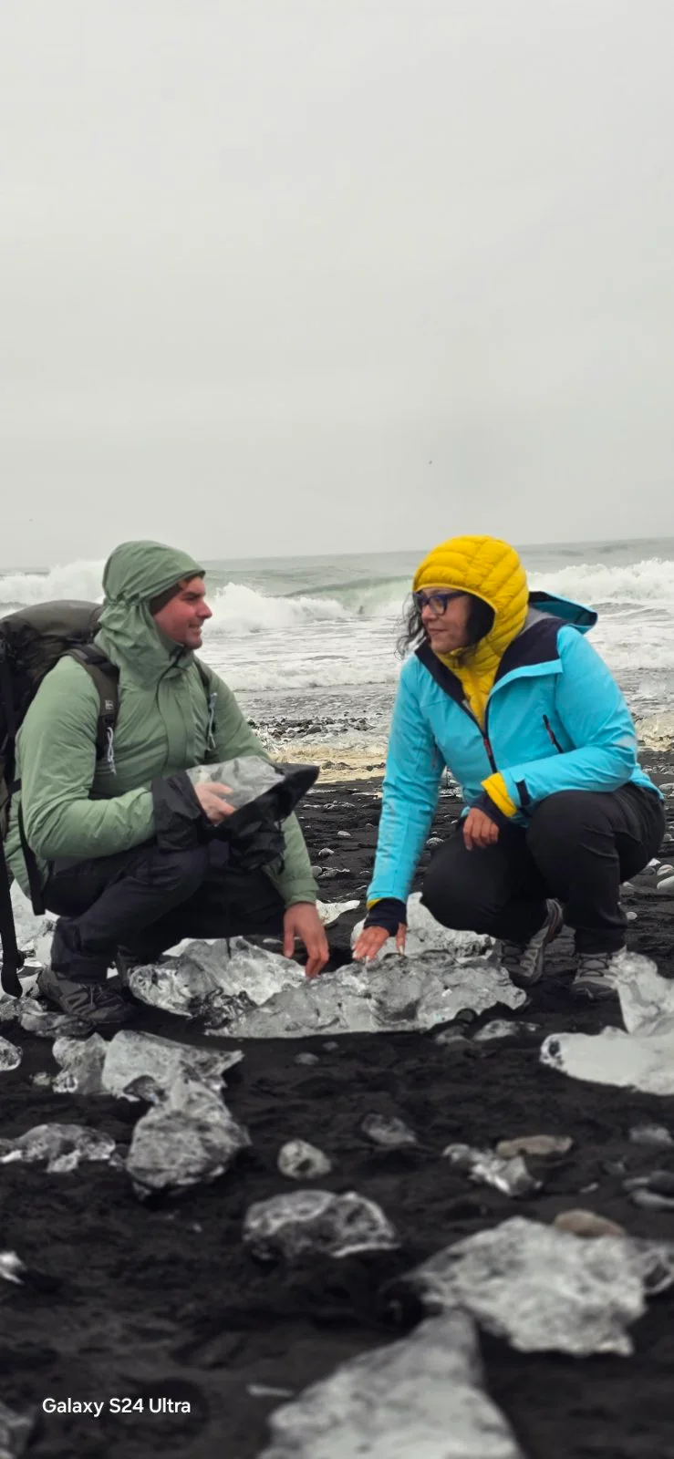
This is also a place that should be approached with caution. The ice can move, roll, or break, and the waves on Iceland’s south coast can reach farther than expected. The safest photograph is made from a position that leaves enough distance from both the water and unstable ice.
Vestrahorn hidden by cloud
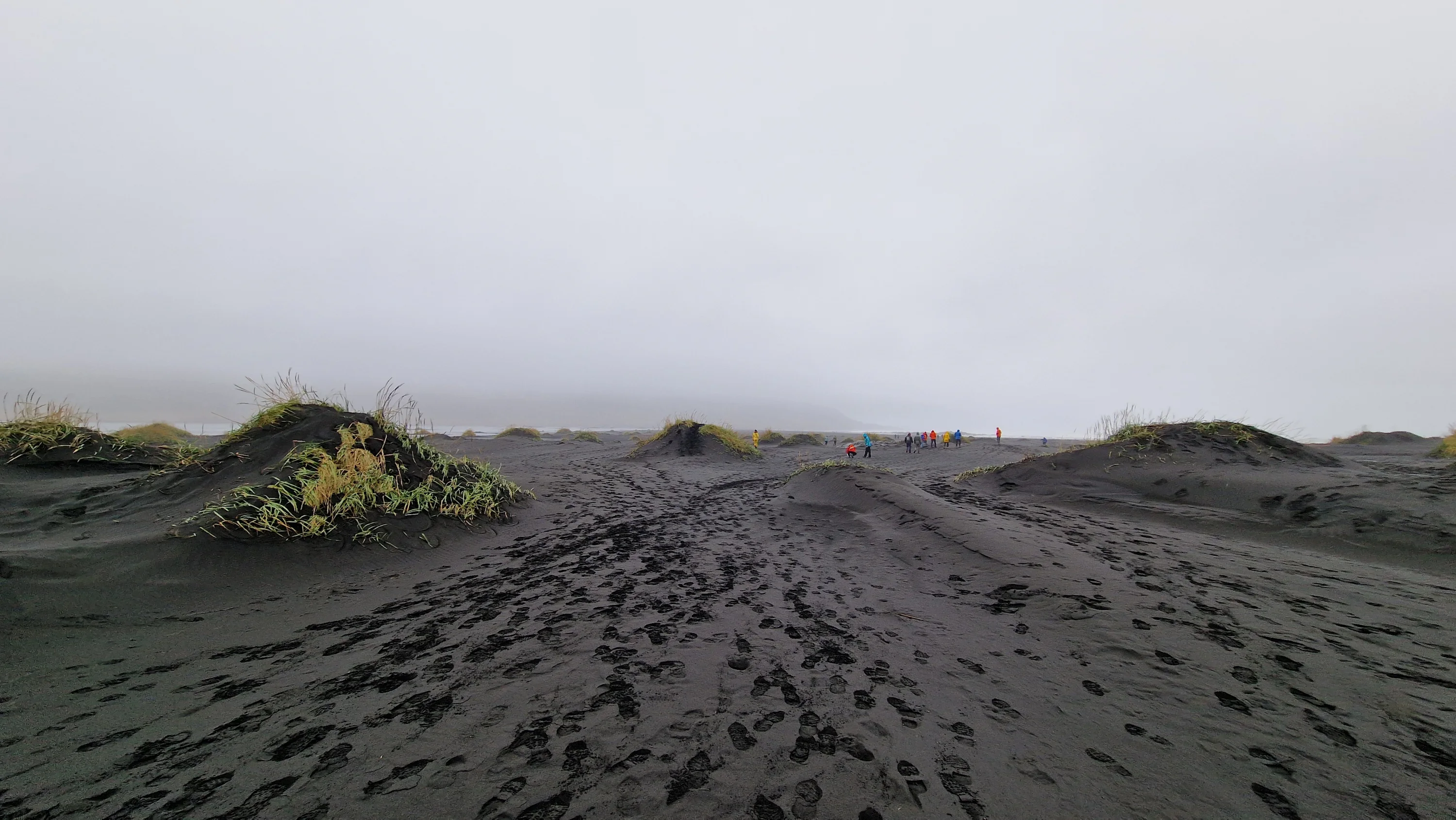
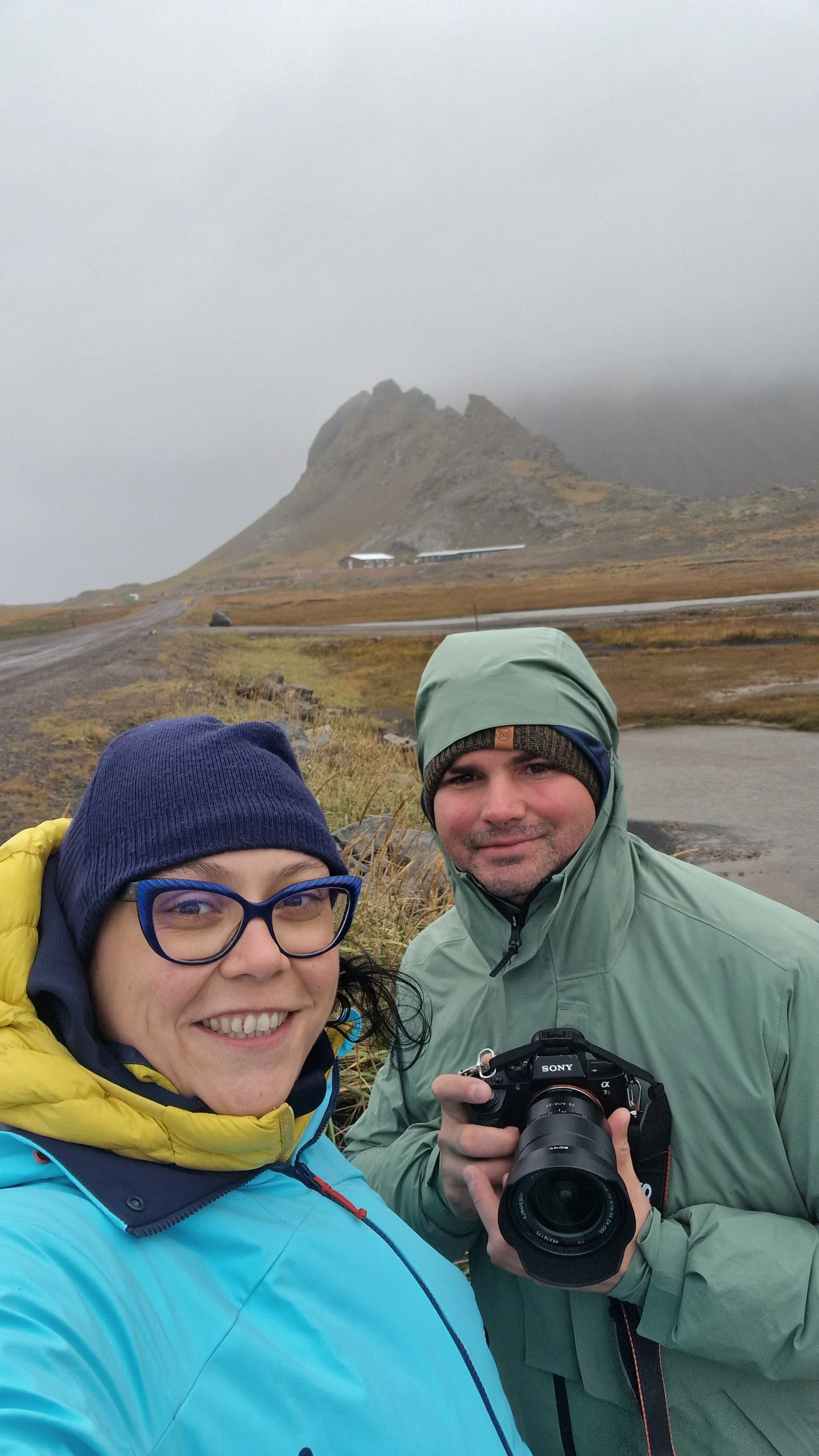
The next morning, we planned to visit Vestrahorn. Instead, Iceland showed us a different version of the mountain. A dense veil of cloud and fog covered the peaks, leaving almost nothing of the composition I had imagined.
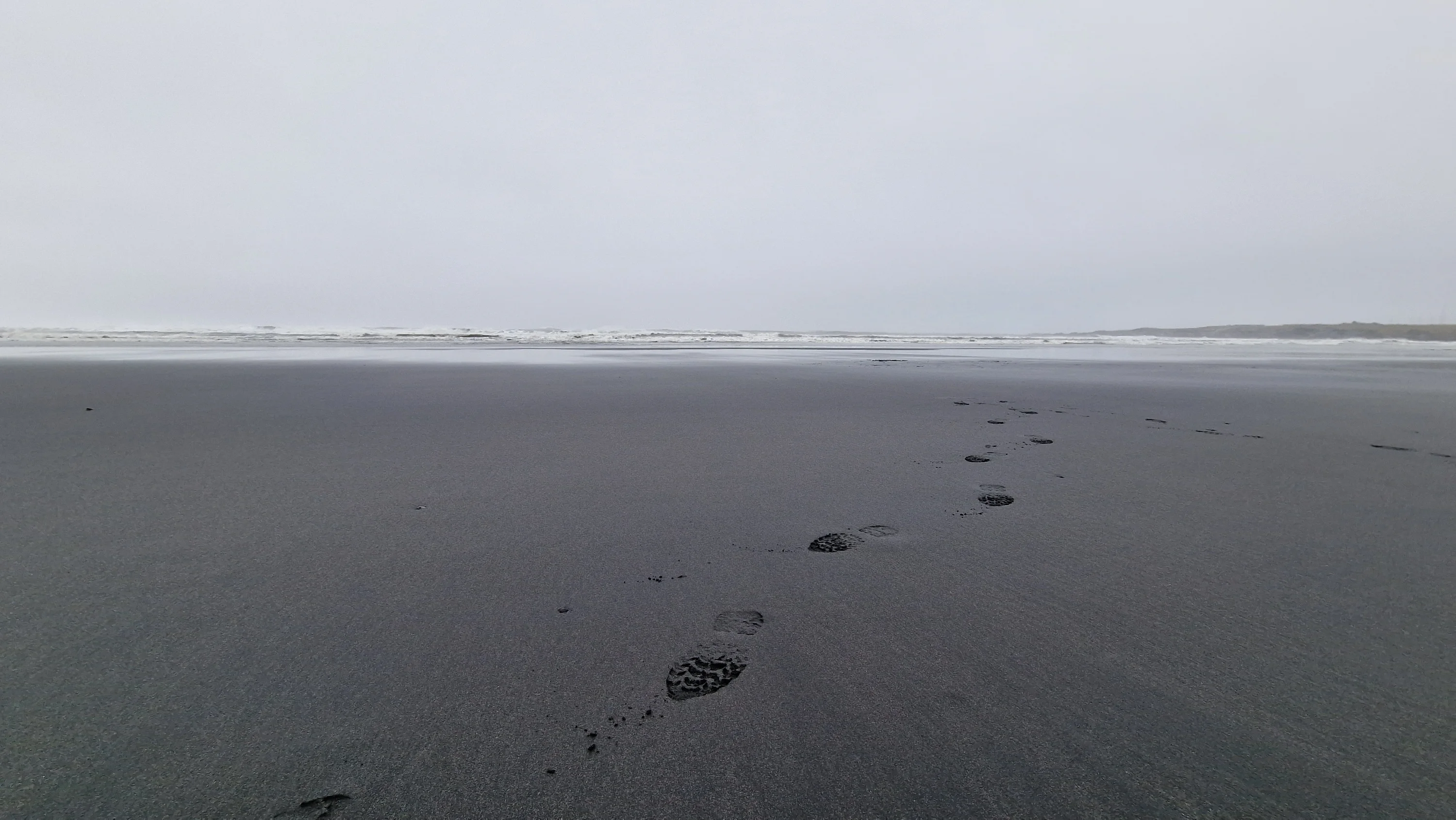
Vestrahorn rises to 454 metres on the Stokksnes peninsula and is formed mainly of gabbro, with some granophyre. Its dark slopes, dunes, wet sand, and the surrounding coast have made it one of southeast Iceland’s most recognisable photographic locations. The beach and access road at Stokksnes are privately managed.
We could have waited without knowing whether the mountain would appear, but the programme required us to continue. This was one of the moments when the difference between an organised tour and a photography journey became clearest. A photographic route needs empty time — time that can be spent waiting, returning, or abandoning one place for another when conditions change.
The wind at Hvalnes
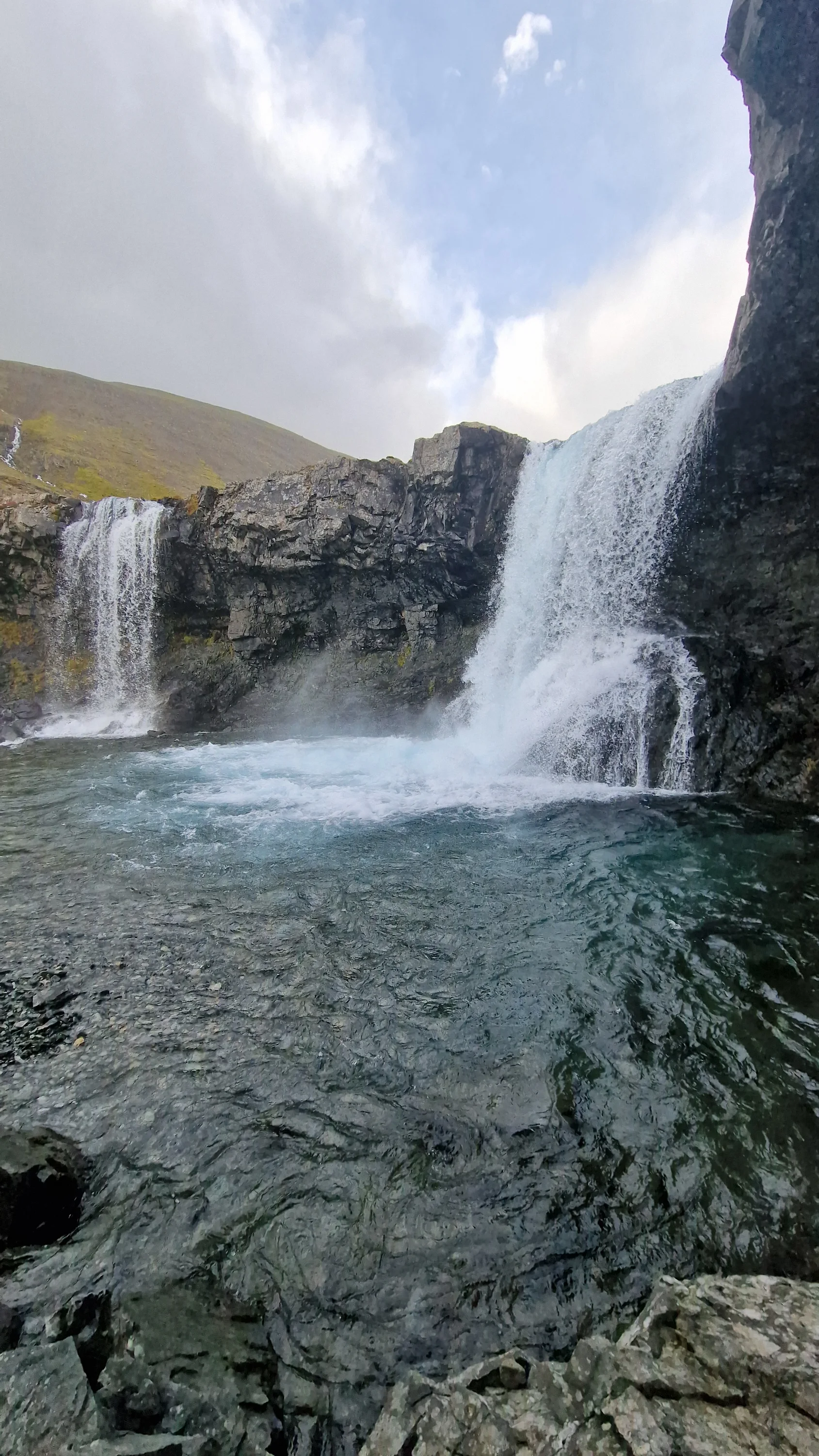
After leaving Vestrahorn behind, we stopped at the smaller and less frequently visited Skútafoss. From there, the road led us towards Hvalnes, where a yellow lighthouse stands above a long black-pebble shoreline.
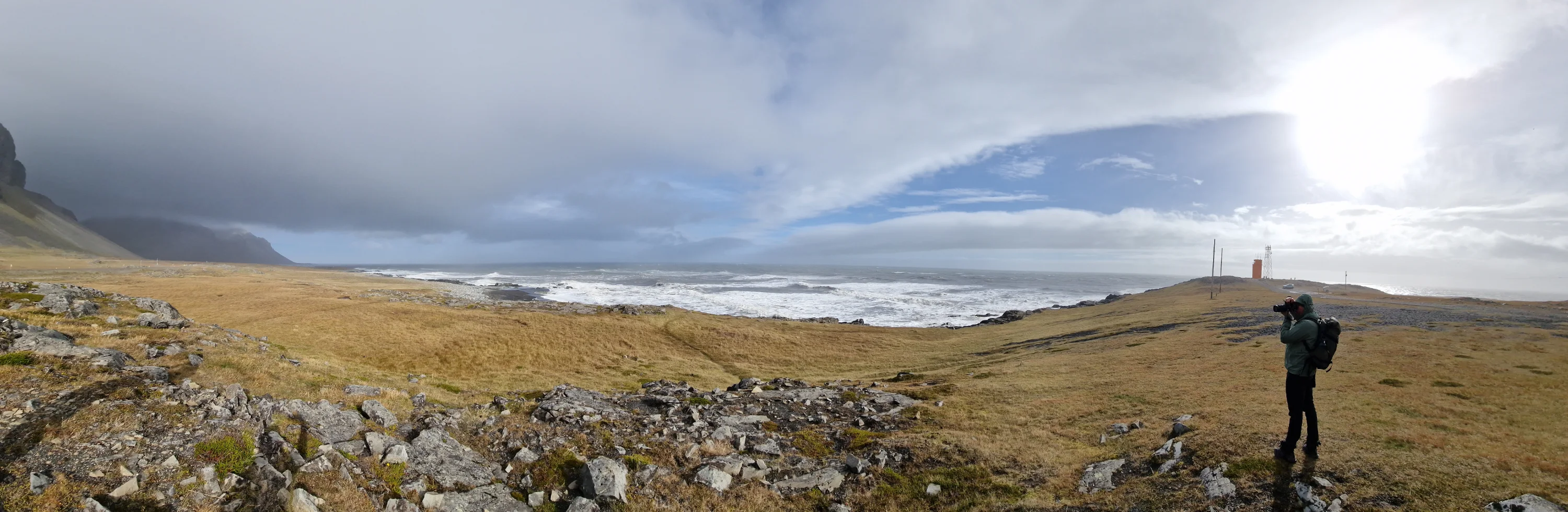
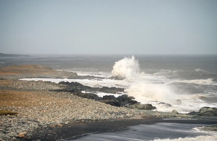
The wind there was among the strongest we experienced. Waves crossed the steep edge of the coast and threw water high above the rocks. The scene was impressive, but it also demanded distance and attention. The exposed coastline around Hvalnes faces the open ocean, and its character can change rapidly when the wind strengthens.
From the area, we could also see part of Eystrahorn. The cloud remained, but it was less dense than at Vestrahorn, revealing sections of the mountain and giving us a sense of its scale. Hvalnes itself is a small peninsula with a black-pebble beach extending for several kilometres and a distinctive yellow lighthouse near its tip.
A solitary rock at Fauskasandur
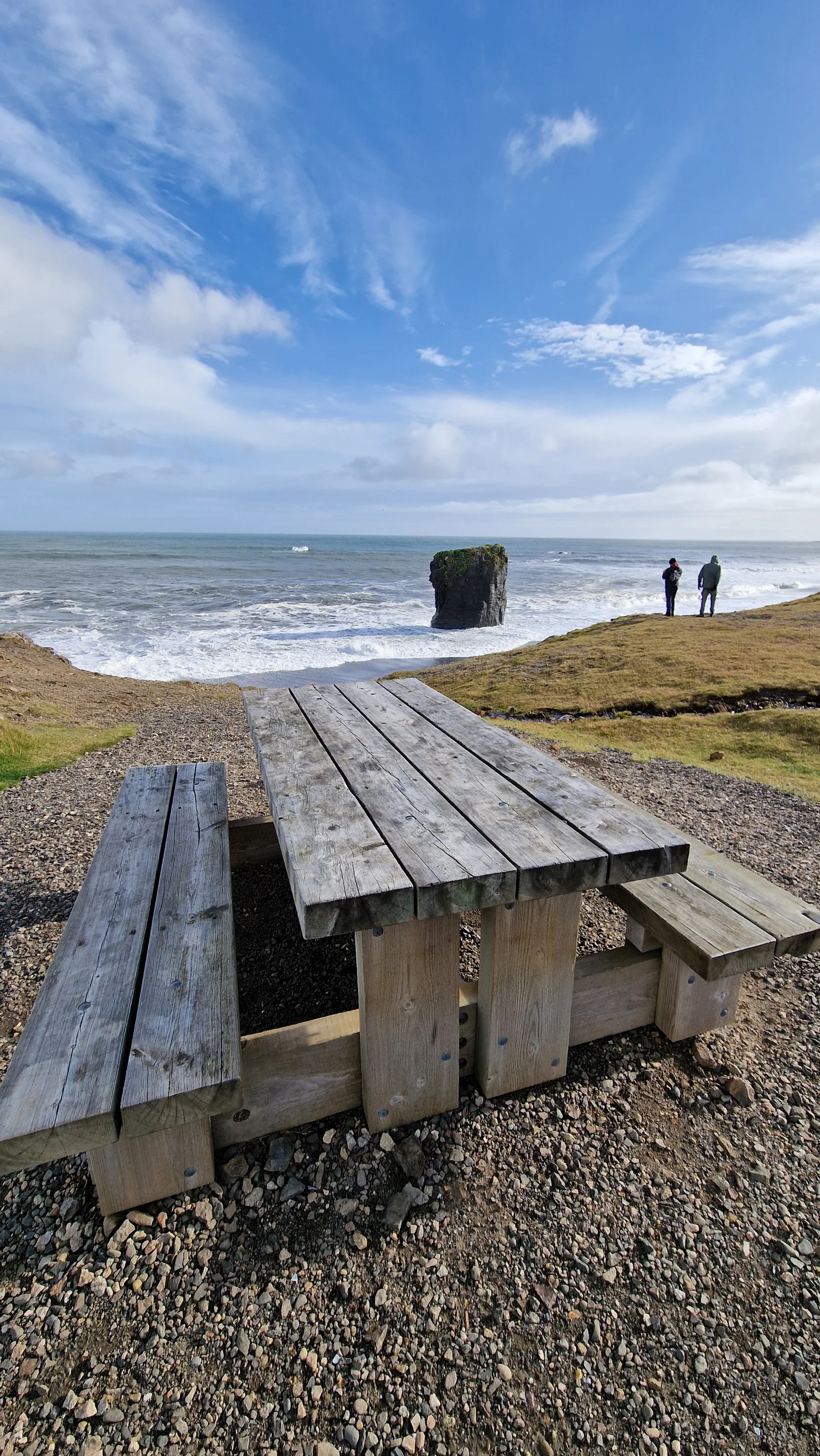
Further along the coast, we stopped at Fauskasandur. A solitary sea stack rises from the water close to the black shore, surrounded by open ocean and a landscape with very few distracting elements.
It was one of those roadside places that proved more photographically useful than some of the famous destinations. The dark shore, the shape of the rock, the lines of the incoming waves, and the changing cloud created a simple composition that could be read immediately.
The stop reminded me that a journey should not be measured only by the landmarks listed in the itinerary. Some of the most memorable views appear between them, often without a large parking area, a visitor centre, or a name recognised by everyone.
Stuðlagil without the turquoise water
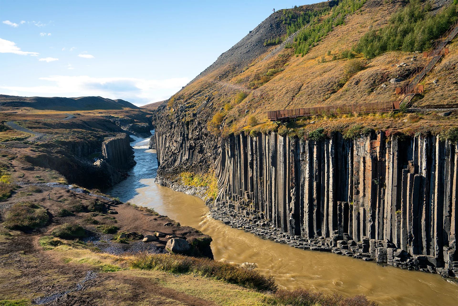
n the fourth day, we continued north and visited Stuðlagil, the basalt canyon of the Jökla River. It is often photographed with blue-green water between walls of columnar basalt, but during our visit the river was brown after the recent weather.
The colour of the river is not constant. Stuðlagil is part of a glacial river system, and the water can change according to melt, sediment, rainfall, and overflow from the Hálslón reservoir. Grey or brown water is especially common from August into October, although conditions vary from year to year.
There are two main ways to experience the canyon. The western side provides quick access to viewing platforms above it. The eastern route involves a longer walk past Stuðlafoss and is the side from which visitors can descend closer to the basalt formations. Rocks near the river can be wet and slippery, and entering the water is unsafe because of the cold and strong current.
From eighteen degrees to four
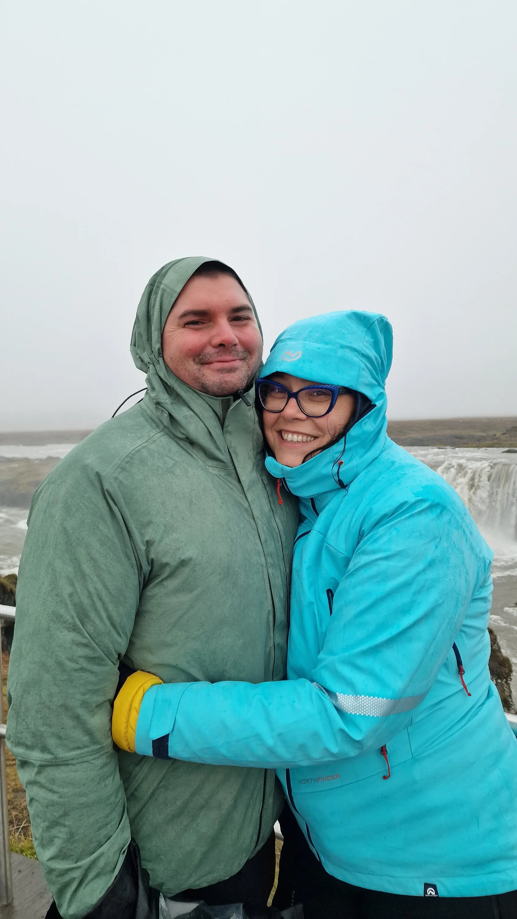
Stuðlagil gave us one of the warmest parts of the journey. The temperature was around 18°C, the sun was high, and the light was hard. Again, the photographs did not resemble the images I had imagined before travelling.
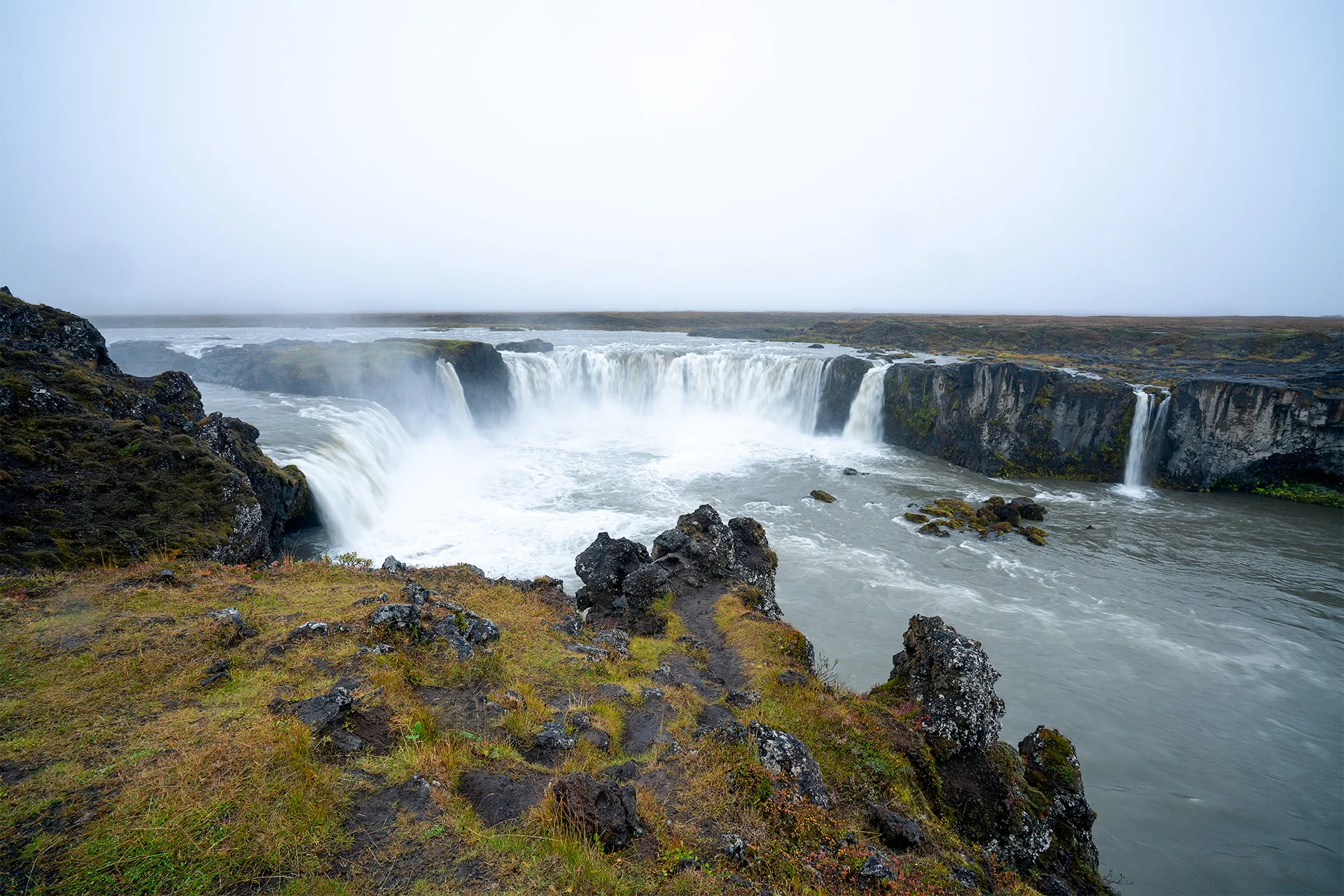
Only a few hours later, at Goðafoss, the temperature had fallen to around 4°C. A steady, quiet rain had replaced the warmth. The difference felt as though we had crossed from one season into another during the same afternoon.
Goðafoss is approximately 12 metres high and 30 metres wide, with the river Skjálfandafljót spreading into several channels before falling over the curved rock edge. Paths and viewing areas are available on both sides of the river. The waterfall is also connected to the story of Iceland’s official conversion to Christianity around the year 1000, although the familiar account of pagan idols being thrown into the water belongs partly to later tradition.
A quiet evening in the north
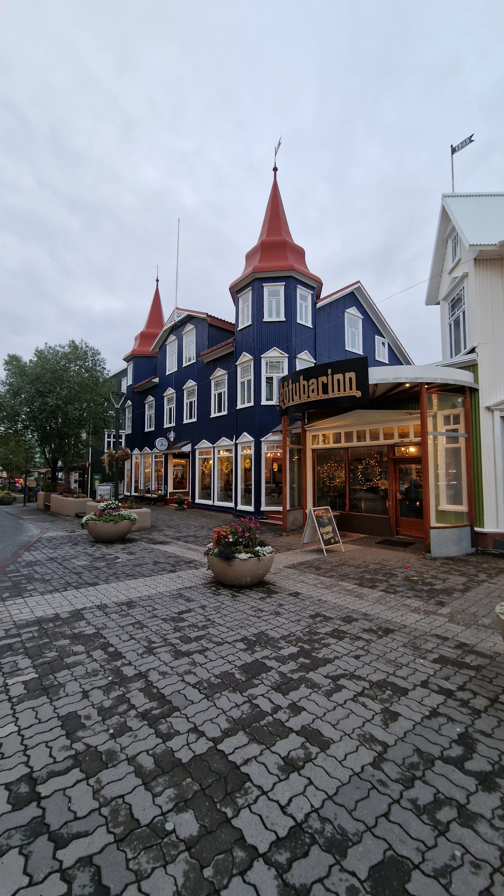
After Goðafoss, we stopped at a small family restaurant in Akureyri. After days of moving through rain, wind, open landscapes, and crowded attractions, sitting indoors over a warm meal felt like a necessary pause.
We then continued to Dalvík, a small town on the Tröllaskagi Peninsula. Its harbour opens towards Eyjafjörður, an area known for fishing, sea journeys, and whale-watching tours.
The next morning brought an experience completely different from the waterfalls and mountains we had been photographing.
Searching for whales in Eyjafjörður
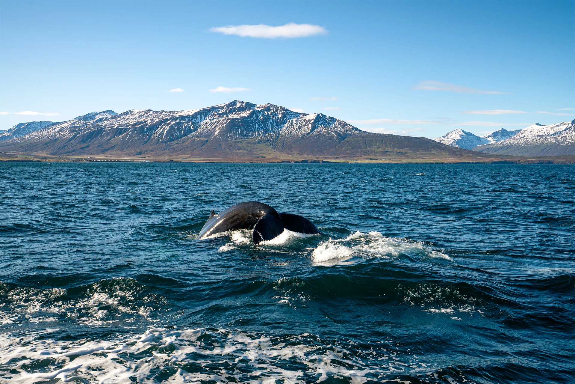
We put on the insulated suits provided by the operator and boarded a small boat. The crews working in Eyjafjörður know the feeding areas and read the surface of the water, the birds, and the recent movements of the animals. A sighting is never guaranteed, but the fjord is one of Iceland’s established whale-watching regions. Tours from Dalvík commonly last around three hours and provide warm protective overalls.
We were fortunate. We saw many whales and had enough time to observe their rhythm rather than only catch a distant glimpse. A back would appear, remain visible for a moment, and then disappear beneath the surface. Some animals raised their tails before diving, turning an enormous body into a slow and controlled movement.
For photography, the experience required anticipation rather than reaction. By the time the camera is pointed at the place where a whale has surfaced, it is often already gone. The challenge is to follow the direction of movement, watch the birds and water, and be ready before the next appearance.
Hvítserkur and an unexpected incident
After the whale-watching tour, a long drive towards Snæfellsnes awaited us. Before continuing west, we made a detour to Hvítserkur on the Vatnsnes Peninsula.
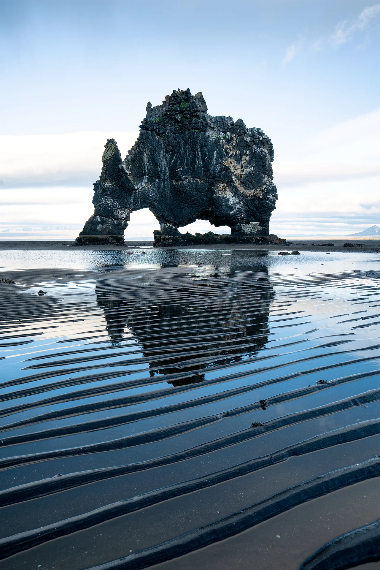
Hvítserkur is a 15-metre basalt sea stack shaped by erosion. From different angles, it can resemble a drinking animal, a dinosaur, or a creature leaning over the water. It is reached from Road 711, which takes travellers away from the Ring Road and through a more isolated landscape.
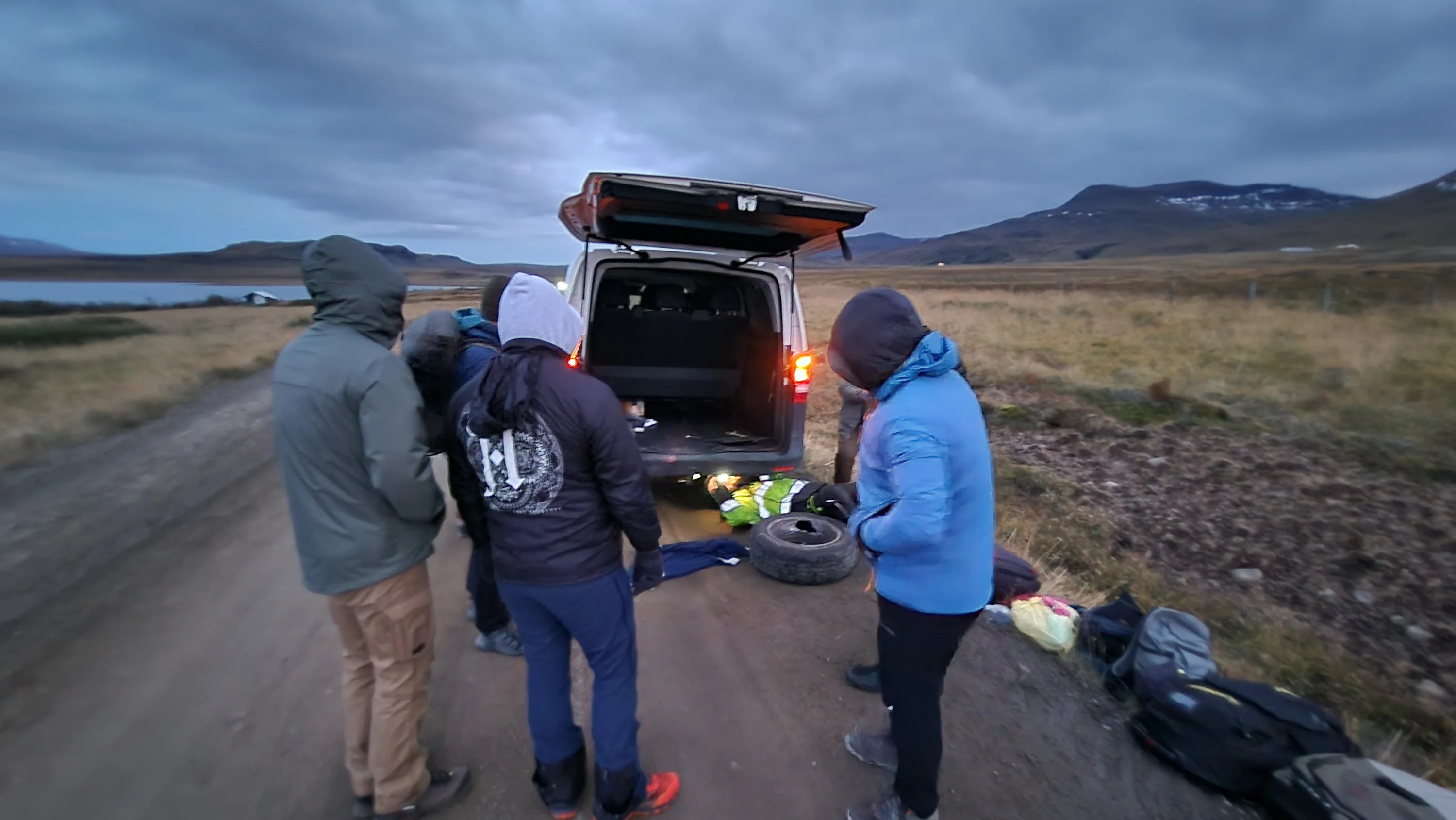
On the way back, while travelling on a gravel road, one of the rear wheels of our vehicle detached and rolled away from the road. Fortunately, our speed was low and the vehicle remained controllable. Apart from the shock, no one was hurt.
What followed was a long series of telephone calls and negotiations with the rental company. We no longer felt safe continuing with the same vehicle and insisted on a replacement. The new van was approximately one hundred kilometres away. We waited several hours for a mechanic, then drove very carefully to the meeting point, transferred the luggage, and resumed the journey towards Arnarstapi.
Snæfellsnes after midnight
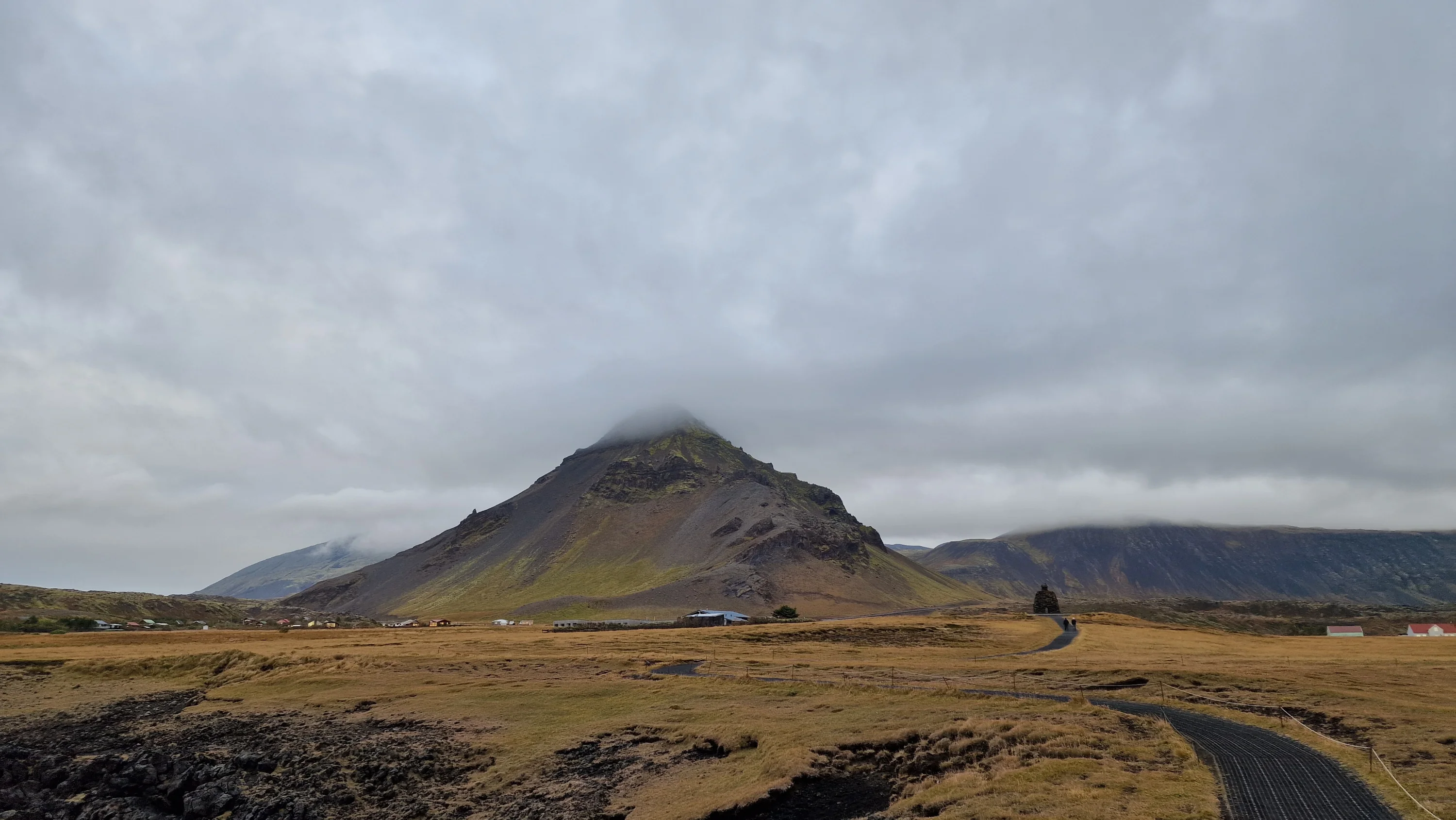
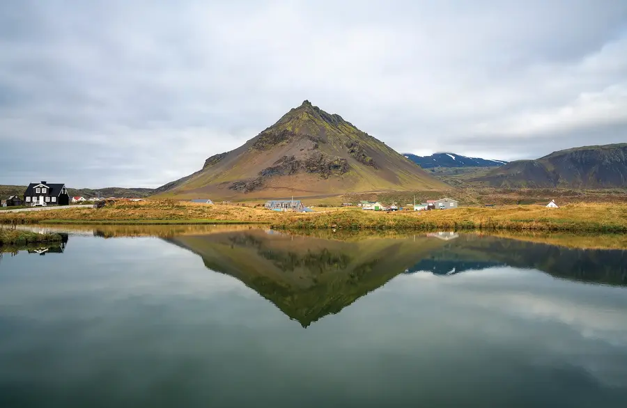
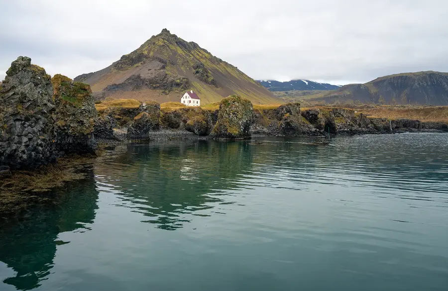
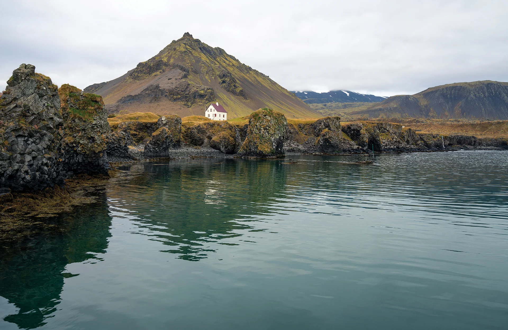
We arrived in Arnarstapi late at night, exhausted but relieved that the incident had ended without injury. The following morning, the harbour and coastline gave us a slower beginning to the day.
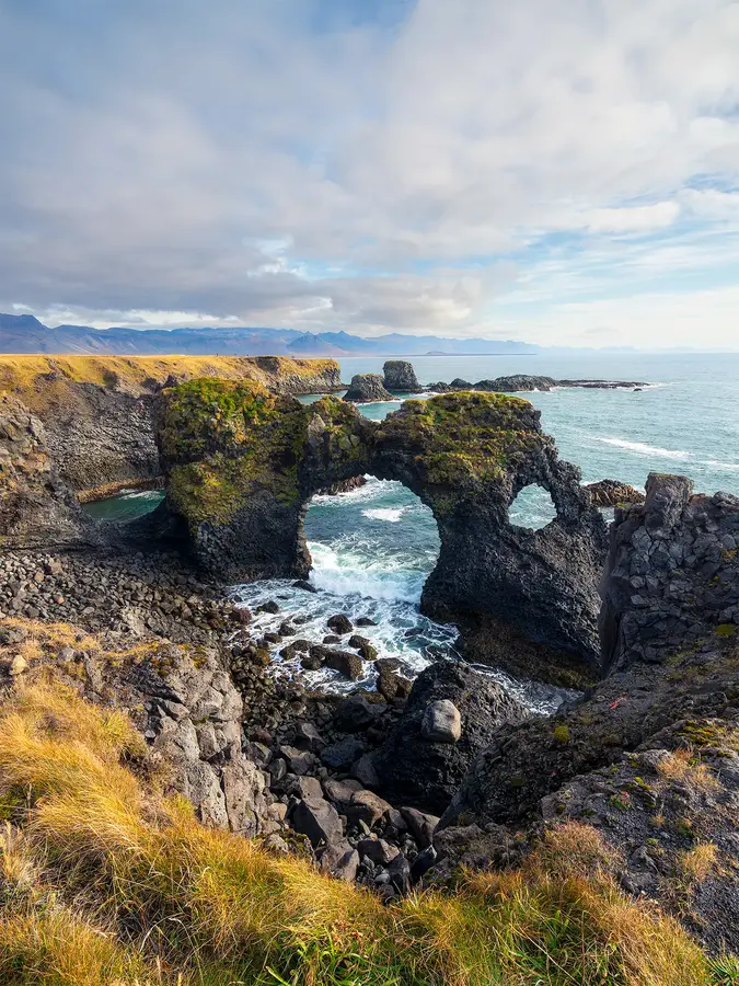
Arnarstapi was once an important trading post. Its harbour is surrounded by basalt formations, sea caves, ravines, and cliffs. The coast between Arnarstapi and Hellnar has been protected as a nature reserve since 1979, and a walking path follows the cliffs through lava formations and nesting areas for seabirds.
I photographed the harbour, the coast, and Stapafell rising inland. After the previous day’s long drive and accident, the simple act of walking with the camera felt almost restorative.
Búðakirkja and Kirkjufell
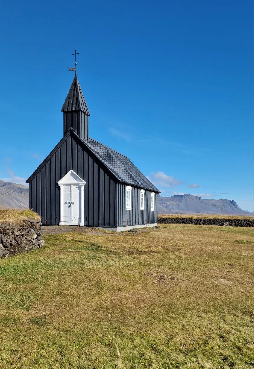
The day continued through some of the best-known places on Snæfellsnes. We visited Búðakirkja, the small black church standing alone among open fields and lava, and later continued to Kirkjufell.
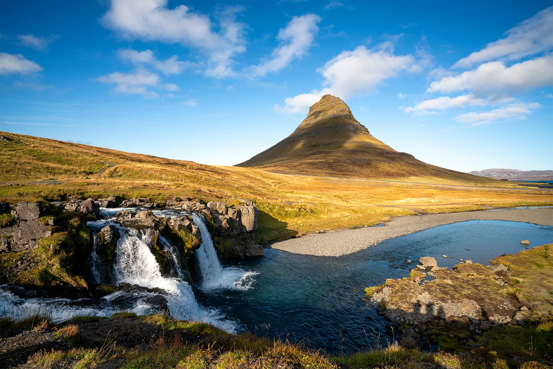
Kirkjufell is photographed so often that it is easy to arrive with a finished image already in mind. The real challenge is to look beyond the familiar viewpoint and respond to the conditions that are actually present — the wind, water level, clouds, people, and direction of light.
Snæfellsnes felt different from the southeast and north. The distances between coast, mountains, settlements, and lava fields seemed compressed, allowing the character of the landscape to change repeatedly within a relatively small area.
Reykjavík and the end of the road
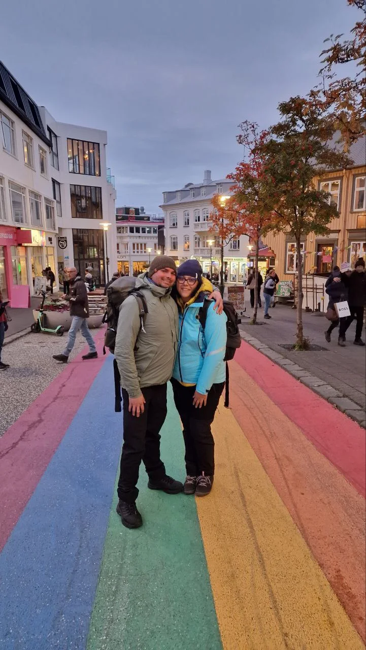
The final stage of the journey took us to Reykjavík. After days dominated by open roads and natural landscapes, the capital felt compact, ordered, and unexpectedly calm.
We visited Perlan, whose exhibitions explain Iceland’s glaciers, volcanoes, water, geology, and northern lights. One of its most distinctive features is an indoor ice cave made from real ice, offering an accessible introduction to a landscape that should otherwise be entered only with suitable equipment and guidance.
We also visited Hallgrímskirkja and climbed its tower for a view across the city. Later, we walked through the centre and reached the waterfront, where the Sun Voyager sculpture faces the mountains and sea.
From there, we returned to Keflavík Airport. Seven days after arriving in the dark, our first journey through Iceland had reached its end.
What the journey taught me about photography
I returned with many photographs, but also with a clearer understanding of the difference between visiting a place and photographing it with intention.
An organised journey allowed us to see an extraordinary amount in a short time. It gave us confidence, experience, and the chance to understand how Iceland’s roads, distances, weather, and accommodation work. Without it, we might have continued postponing the dream.
At the same time, photography needs a different rhythm. It needs room for a mountain hidden by cloud, a return to a beach when the tide changes, or several hours of waiting for the light. Reaching a location is only the beginning. The photograph depends on what happens afterwards.
Practical information for a first journey to Iceland
How much time is needed?
Iceland’s Ring Road is 1,322 kilometres long and is paved throughout, but the distance alone does not describe the journey. Detours, gravel roads, stops, walks, weather, one-lane bridges, photography, and meals all add considerable time. Temporary closures are also possible during difficult conditions.
Seven days, including flights, allowed us to see much of the country, but the schedule was intensive and left little room for delays or repeated photography. For a journey centred on photography, I would now allow more time and plan fewer major locations per day.
Weather and aurora
Check three sources every morning before setting out: the Icelandic Meteorological Office for weather, Umferdin for current road conditions, and SafeTravel for warnings and closures. Conditions can differ considerably between the south, east, north, and west on the same day.
For northern lights, check both aurora activity and cloud cover. A strong forecast is of little use beneath an unbroken layer of cloud. In September, bring a tripod, headlamp, spare batteries, and warm clothing even when the daytime temperature feels mild.
Clothing
A reliable system consists of a moisture-managing base layer, an insulating middle layer, and a waterproof and windproof outer shell. Waterproof boots with good grip are more useful than heavy but non-waterproof footwear. Gloves and a hat take little luggage space and can become essential even outside winter.
Carry one dry set of socks and a lightweight layer in the day bag rather than leaving everything in the vehicle. Spray from waterfalls and waves can soak clothing quickly.
Driving and rental vehicles
Slow down before moving from asphalt onto gravel. Do not stop on the road for photographs; use a designated parking area or a safe lay-by. Off-road driving is illegal and can permanently damage the fragile landscape. F-roads require a suitable four-wheel-drive vehicle, and not every 4×4 is appropriate for every mountain road.
Before leaving the rental office, photograph the vehicle, wheels, tyres, windscreen, and any existing damage. Check that the tyre-repair equipment or spare wheel, jack, and emergency numbers are present. Read the insurance exclusions carefully, particularly those concerning gravel, sand and ash, wind damage to doors, tyres, underbody damage, and river crossings.
Reduce speed significantly in strong crosswinds, especially with vans, camper vans, or other high-sided vehicles. When opening a door in strong wind, park so that the wind pushes it towards the vehicle rather than pulling it away, hold it firmly, and open only one door at a time.
Parking and access fees
Parking fees are becoming common at major Icelandic attractions. Payment may be made through a machine, website, QR code, or apps such as Parka. Always read the signs immediately after entering a car park because some locations use automatic number-plate recognition.
At Skógafoss, parking is paid and monitored through the vehicle registration number. The payment covers a period of up to eight hours and includes access to the parking and toilets; overnight stays are prohibited.
Jökulsárlón and the eastern and western Diamond Beach parking areas form one fee zone. As of July 2026, the regional fee for a passenger car with up to five seats is 1,110 ISK and is valid until midnight. A 50% discount applies when Skaftafell and Jökulsárlón are visited and paid for with the same method on the same day.
Access to the privately managed beach at Stokksnes and Vestrahorn currently costs 1,100 ISK per person, with children under 16 admitted free. Tickets are available through Viking Café.
The western viewpoint at Stuðlagil has a parking fee, toilets, and quick access to the observation platforms. The eastern side involves a longer walk and offers closer access to the canyon. Current charges and payment methods should always be confirmed from the signs on site.
Kirkjufell also has controlled paid parking. Because tariffs and payment systems change, check the current instructions on arrival rather than relying on an older travel article.
Safety on beaches and near glaciers
Reynisfjara is one of Iceland’s most dangerous visitor locations because of unpredictable sneaker waves, strong currents, and rockfall. Read the warning signs and obey the coloured zone system. Never turn your back on the ocean, remain well above the waterline, and do not follow other visitors into a dangerous area simply because they appear unconcerned. There are no lifeguards.
The same respect should be given to Diamond Beach and other exposed southern shores. Keep distance from both waves and large blocks of ice.
Do not walk onto a glacier without an experienced guide and proper equipment. A glacier is constantly moving, and cracks, unstable ice, meltwater, and weather can turn an apparently calm surface into hazardous terrain.
A reason to return
Iceland was our first great journey beyond Bulgaria and the first time Julia and I shared an experience of this scale. We returned tired, carrying too much luggage, many photographs, and memories that continued to become clearer long after the journey had ended.
The trip fulfilled a dream, but it also created another one.
I want to return without a fixed group schedule and build the journey around light, weather, and a smaller number of places. I want to wait when the mountains disappear into cloud, return when the tide changes, and accept that sometimes the best decision is not to move on.
The first journey showed me Iceland. The next one, I hope, will give me the time to photograph it as I truly see it.